
Have you noticed the large measuring rod that has been affixed to the stairway railing in the library? We are not expecting a flood or measuring the height of our patrons as some have suggested. That is called a stadia rod, and it is part of a geological mapping exhibit that will be set up in the library throughout winter term.
This display will consist of three installments, starting with From Washington and Jefferson to the Establishment of the U.S. Geological Survey, Last Century Mapping Techniques, and concluding with Current Digital Mapping Methods.
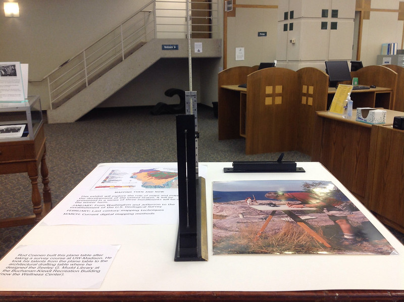
The display was designed by Professor Emeritus of Geology, John Palmquist, with the purpose of exploring the role of maps and mapping in the development of the United States, as well as to show how mapping techniques have advanced over time.
For the duration of the display, a plane table, alidade, and stadia rod will be set up to encourage visitors to not only see these tools, but also to get a feel for how they are used.